projects
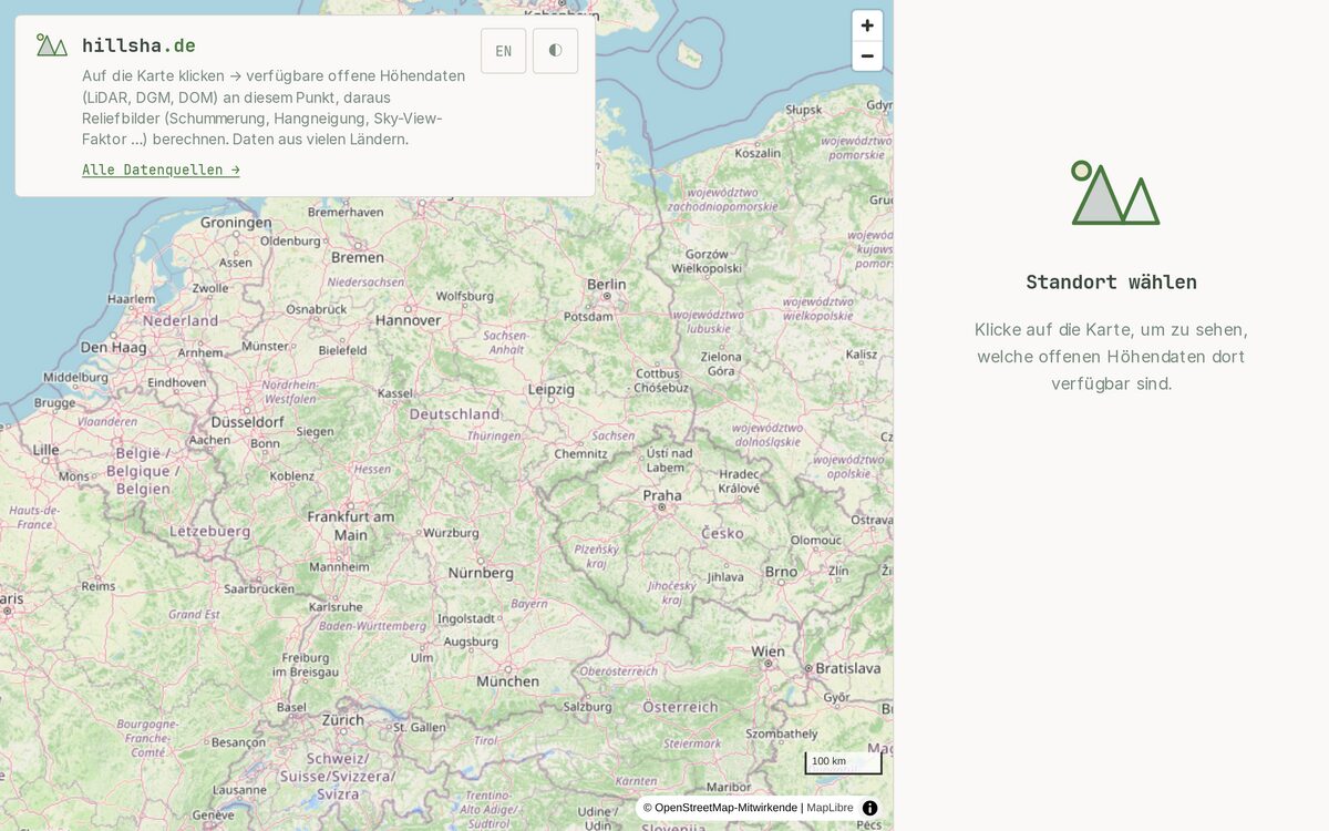
Relief visualizations from open LiDAR and elevation data: hillshade, slope, sky-view factor and more.
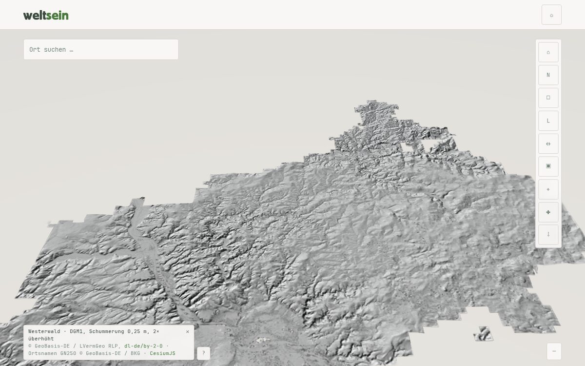
The Westerwald in 3D: DGM1 as a terrain model, hillshade from 0.25 m laser data. Self-hosted with CesiumJS, no cloud services.

The Summa Theologiae of Thomas Aquinas as a calm iPhone reader — searchable, fully offline, with highlights and a notebook.
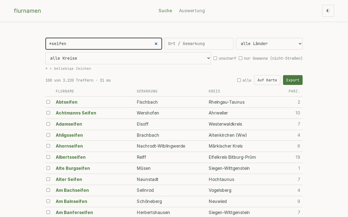
Search official German field names (Flurnamen) from ALKIS and explore them on a map — by name or cadastral district, with wildcard search.
Download administrative boundaries as scalable SVG graphics.
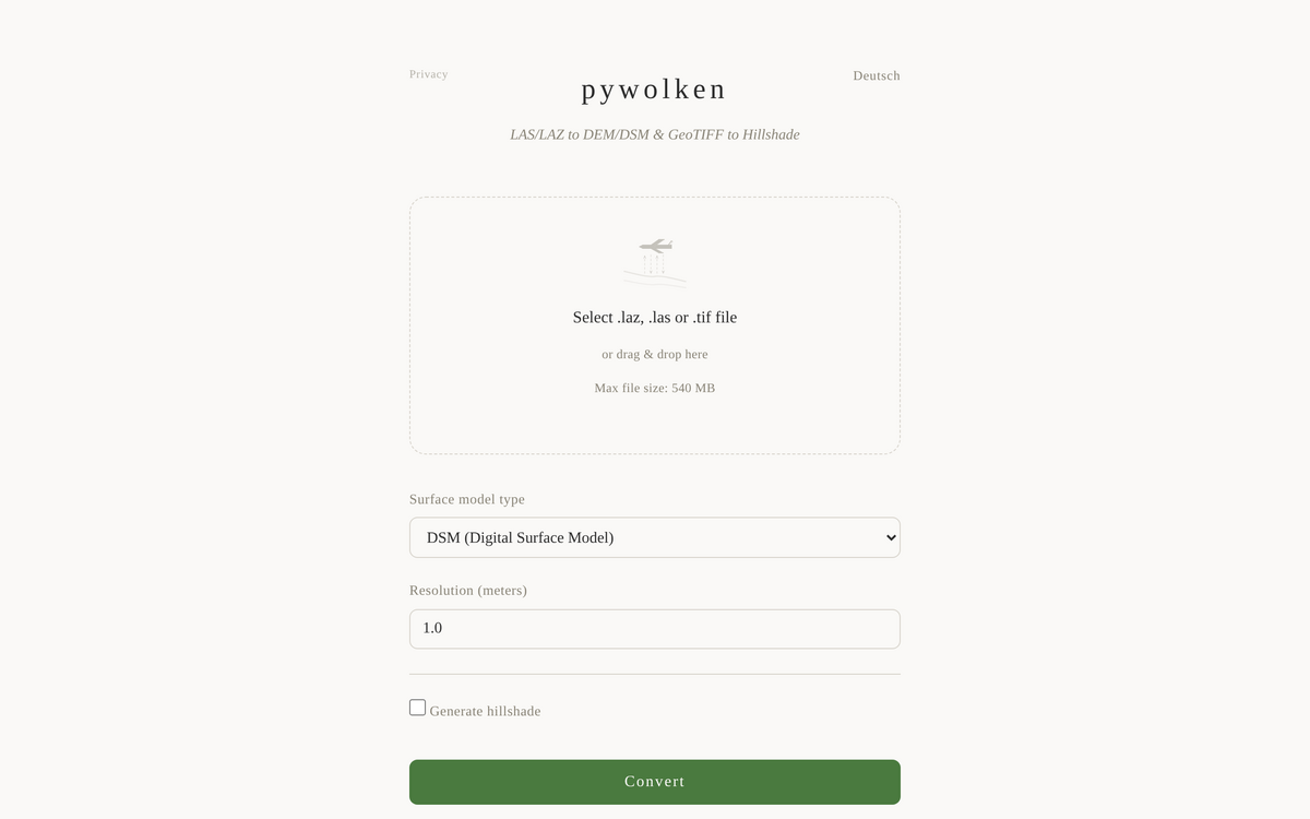
Convert LAS/LAZ point clouds to DEM/DSM and generate hillshades.
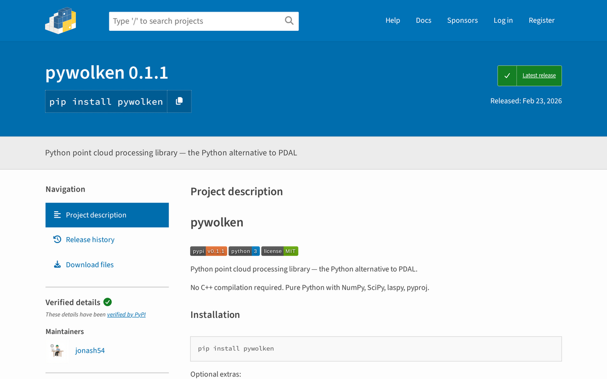
Python point cloud processing library — the Python alternative to PDAL.